The Month in Review is a round up of all the posts I have created in the last month as well as some links and small thoughts that came up during the month that were not big enough for posts of their own. It will also serve as an index to the site. Continue reading
Monthly Archives: September 2013
Teaching Kids to Program: How Young?
 Nathalie and I started teaching our kids to program on our own without doing a whole lot of research on how other kids were being taught. I learned how to program at a very young age, largely on my own, so I never doubted that they could learn. The question is just how early to start. Having kids in the house ages 6, 8 & 9, I was confident the 8 & 9 year olds would have no problems (having started myself at age 8), but I was a little skeptical of teaching the 6-year-old. Continue reading
Alteryx: Dot Density Maps
As well as tips for writing reusable macros…
I have been continuing down my path of writing a general interest post about Food Deserts. Most maps you find online of Food Deserts, or any other phenomenon that happens primarily in rural areas make the issue look much larger than it really is. Looking at a map of the 2008 US presidential election, you would never guess that the blue team won. Rural areas are a larger portion of the map than they are of the people and so it is very easy to create a misleading map. I wanted to explore mapping methodologies that properly shows the scope of an issue – not exaggerating it by making it look bigger or smaller than it actually is. You can click on all the maps in this post for a larger version.
Alteryx: Processing Groups of Records in a Macro
I have been working on a blog post that is going to integrate a variety of different aspects of Alteryx together to paint a larger story. As I have been building towards it, I have run into a variety of challenges that have grown into blog posts in their own right. It started with Weighted Medians and continued on with Downloading from TIGER. Today I ran into a very common problem – I needed to process records in groups. The solution I outline is extensible to any macro; it should be a useful technique for any data artisan. Continue reading
Lego Robot: A Mazing
With all the flooding and rain we have had in Boulder, all the trails are closed and most of the roads, so road biking, mountain biking & even trail running are all out… So I guess it was the day to build a robot.
 I have been wanting to build a robot that could navigate a maze. We had previously played with the Robo Puppy, but with the casters for feet and the long neck, there was too much floppiness and it just couldn’t move very accurately. Every time you sent a move command to it, it would lurch to one side or the other based on how the caster were sitting at the time. Also the distance sensor was getting confused, I think partly due to be a little too high and partly due to its nose being in the way. Clearly, we needed to start over with the hardware design.
Alteryx: Connecting to Cloud Services

…or consuming the Google Directions API…
There are many functions available as cloud services that can be used within Alteryx. For instance, the Alteryx geocoder is fairly good, but sometimes people want more, or just want to try other options. Instead of asking Alteryx to do something about it (and waiting for a future release), many of the APIs can be utilized from directly inside of Alteryx. A quick search will find a variety of options, many of which could easily be wrapped by an App or Macro. Continue reading
Alteryx: Downloading from TIGER
or how do I get free spatial data for Alteryx…
I keep having this big idea for a blog post, but getting sidetracked by things that I need before I start. Its always nice to share, and I figure many other Alteryx users would have the same needs as me. Last weeks post, Weighted Medians, was one example of this. This week, for the next step in what I have been working on, I needed a US Block polygon file. Blocks are the lowest level for which Census data is tabulated. The census helpfully makes the polygons available for download on their ftp site, but the data is in a separate ZIP file per state containing SHP files. What I really want is a single YXDB file for the entire layer. Downloading 50+ files and then unzipping and converting by hand sounds like a lot of work. I am a programmer and programmer’s by nature are lazy, so I wanted to make this process easier. Continue reading
The Yang of Mountain Biking
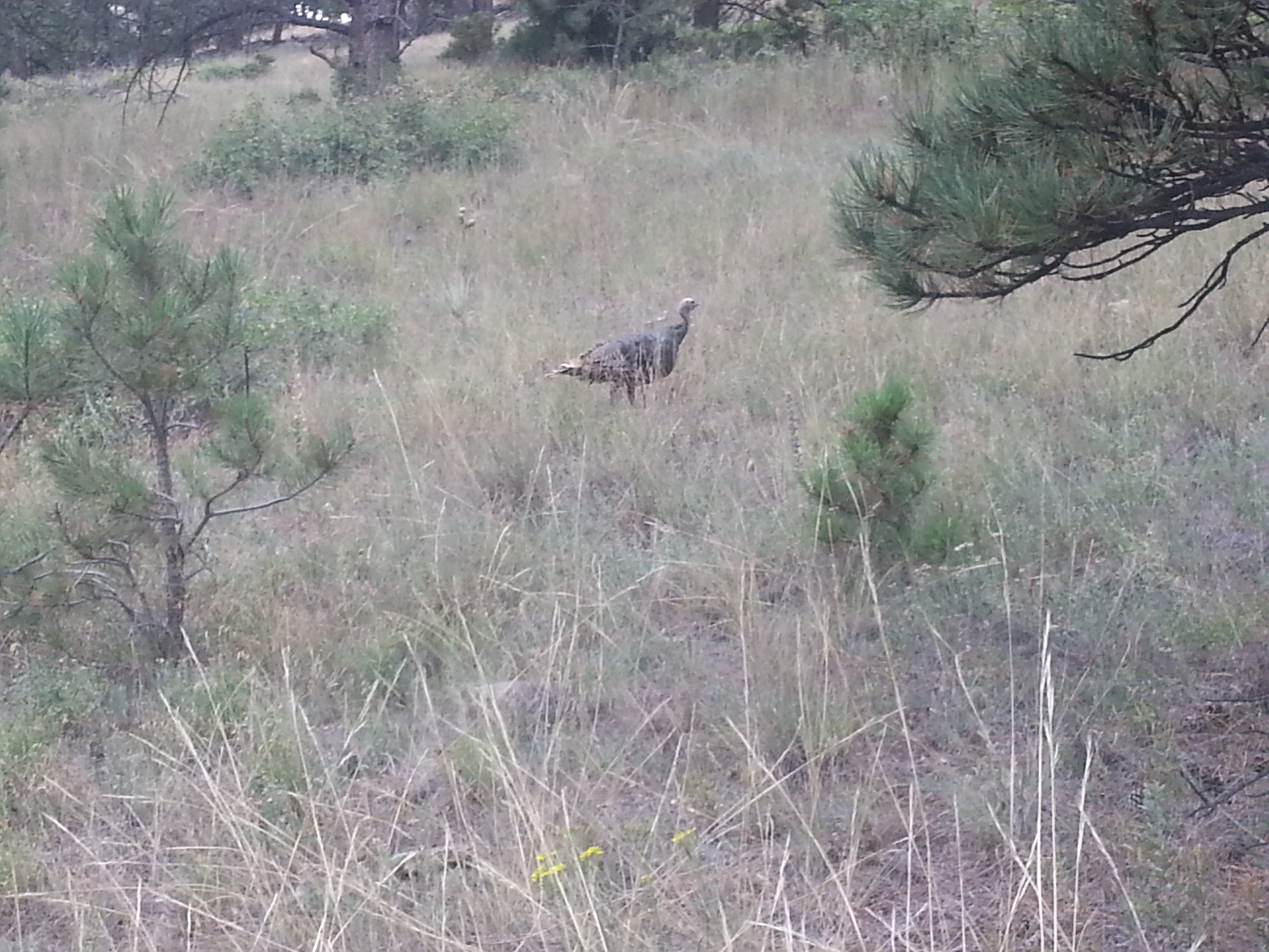
This time I will start with a turkey – actually I saw about 20 of them, but I only had my phone for pictures so its hard to get a good image. Please don’t ask me where I was though, I will not answer! Thanksgiving is getting close and I suspect not all my readers are vegans like me. I really do see a lot of wildlife out riding in Colorado, both on the road and on the trails. You get to cover a lot of distance, but are still quiet enough that you don’t scare everything away. That said, some animals, elk in particular, are exceptionally spooked by cyclists. I think the combination of speed and silence does it. Nothing like being on a bike with a herd of 500 lb animals freaking out and running all over the place! Continue reading
Alteryx: Weighted Median
I was working on a post with some interesting demographics for this blog and came across the need for a weighted median, which is not a statistic the Alteryx Summarize tool provides. A weighted median is a subtle concept; in order to explain it, let me start with a real world, although simplistic, example. Continue reading
Alteryx Mapping: UK at Night
I seem to have quite a few readers from the UK on my blog. After my post last week showing the US at Night I got requests for a UK version. I don’t have a lot of data for the UK right now, so here is a quick map with the same methodology for UK population. When I get a copy of the UK census data, I will produce a map set with a bunch of variables like I did for the US.

Click for a much larger version…
Thanks for reading,
ned.
